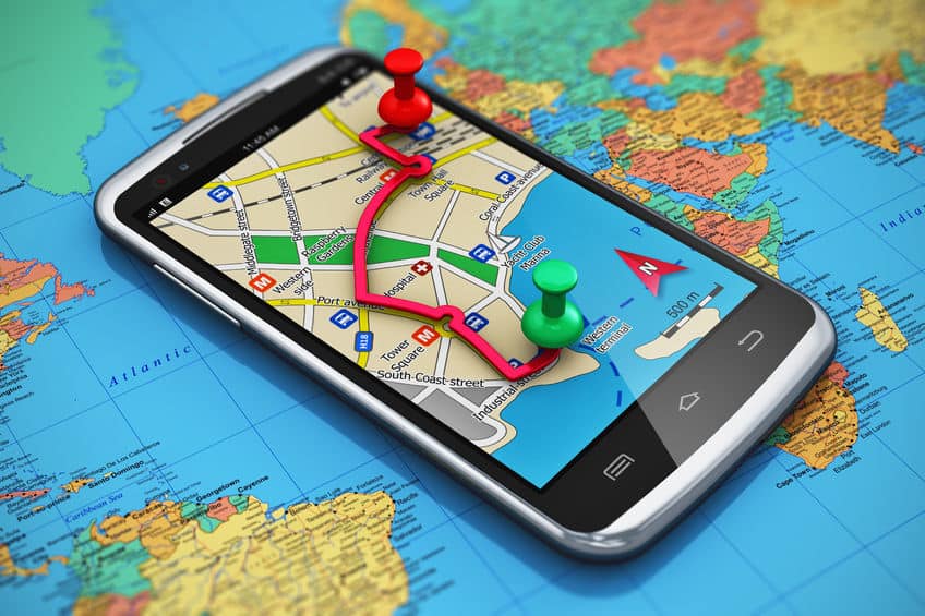
Satellite and Ariel image analysis is a core competency of Telegenisys Inc. Telegenisys frequently geo codes artifacts (objects) on the earth surface. In a large project which is continuing, Telegenisys is geocoding each lane on a highway system. Each month Telegenisys is developing hundreds of thousands of geolocation points on highways which identify lanes.
Surviving the 2025 Middle Manager Crash
In the face of an impending "manager crash" predicted for 2025[ref], businesses are scrambling to find solutions to...


0 Comments