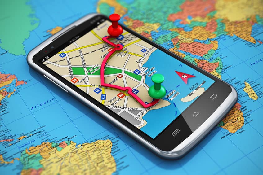
Satellite and Ariel image analysis is a core competency of Telegenisys Inc. Telegenisys frequently geo codes artifacts (objects) on the earth surface. In a large project which is continuing, Telegenisys is geocoding each lane on a highway system. Each month Telegenisys is developing hundreds of thousands of geolocation points on highways which identify lanes.
Advantages of hiring an offshore data entry specialist company
Change is inevitable in any business. Businesses should keep this in mind when they come up with new procedures,...


0 Comments