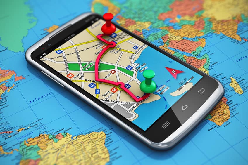
Satellite and Ariel image analysis is a core competency of Telegenisys Inc. Telegenisys frequently geo codes artifacts (objects) on the earth surface. In a large project which is continuing, Telegenisys is geocoding each lane on a highway system. Each month Telegenisys is developing hundreds of thousands of geolocation points on highways which identify lanes.
Roadblocks to smooth integration of BPO services
It’s no secret that many successful businesses today benefit greatly from the use of business process outsourcing. BPO...



0 Comments