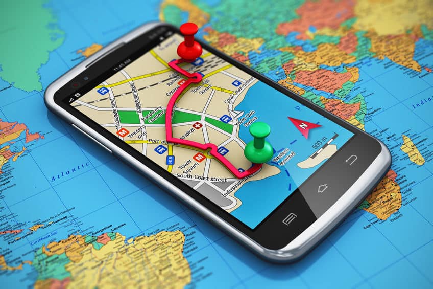
Satellite and Ariel image analysis is a core competency of Telegenisys Inc. Telegenisys frequently geo codes artifacts (objects) on the earth surface. In a large project which is continuing, Telegenisys is geocoding each lane on a highway system. Each month Telegenisys is developing hundreds of thousands of geolocation points on highways which identify lanes.
Insurance database append case study
Often insurance databases become outdated as people move, marry or change status. If they forget to update the...



0 Comments