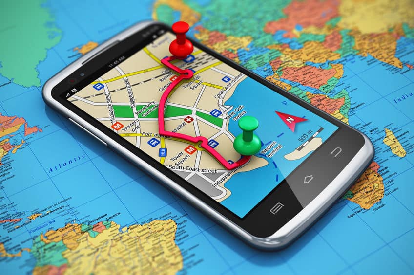
Satellite and Ariel image analysis is a core competency of Telegenisys Inc. Telegenisys frequently geo codes artifacts (objects) on the earth surface. In a large project which is continuing, Telegenisys is geocoding each lane on a highway system. Each month Telegenisys is developing hundreds of thousands of geolocation points on highways which identify lanes.
Outsourcing – A new business approach towards workforce management
"Over the past few years, a great many business leaders have adopted a new approach to their workforce by turning...




0 Comments