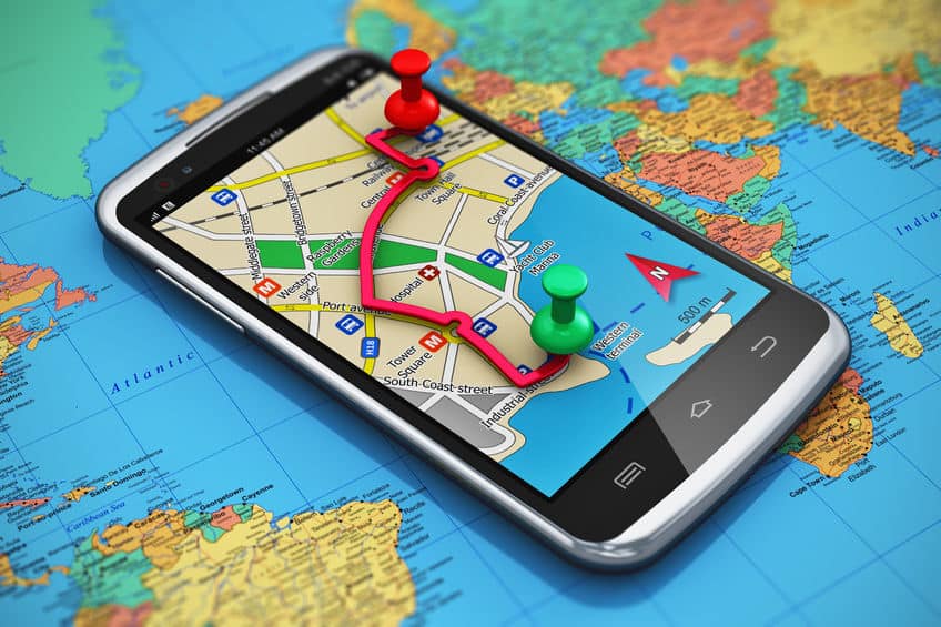
Satellite and Ariel image analysis is a core competency of Telegenisys Inc. Telegenisys frequently geo codes artifacts (objects) on the earth surface. In a large project which is continuing, Telegenisys is geocoding each lane on a highway system. Each month Telegenisys is developing hundreds of thousands of geolocation points on highways which identify lanes.
Delivering on outsourcing excellence : Focus on details
Primary Assertion: The hallmarks of successful outsourcing processes are predictable, reliable and durable performance...


0 Comments